


Oceania breaks the instincts travellers bring from every other continent. Elsewhere, a map’s empty spaces are farmland or forest you pass through. In Oceania — the region spanning Australia, New Zealand, Papua New Guinea and the island nations of the Pacific — the empty space is ocean, the “next town” may be a flight or a ferry away, and the distance between two points that look close can be a day of travel. That is precisely why the region has its own TTweakMaps coverage, structured differently from the continental guides. This article sets out what that coverage includes, country by country and route type by route type. If you have not met the guides before, our walkthrough of how map guides TTweakMaps takes a trip from first search to final destination is the place to start.
Australia: the driving country
Australia is where Oceania’s scale hits hardest, and the guides treat it as a driving country first. Coverage concentrates on the routes Australians and visitors actually drive: the east coast corridor from Sydney through Brisbane to Cairns, the Great Ocean Road, the Red Centre run to Uluru, Tasmania’s loop, and the long Western Australia legs where the guide’s most important content is not scenery but spacing — fuel, water and overnight stops marked at the intervals the Outback imposes, not the intervals a traveller might wish for.
Distances in the Australian guides are always stated twice: kilometres, and hours at the pace the road really allows. A 900-kilometre day exists on these maps; the guides say plainly when attempting one is a mistake.
New Zealand: two islands, one essential crossing
New Zealand coverage is built around the country’s defining structure: two main islands, one ferry crossing between them, and roads that reward slowness. The guides cover the classic circuits — Auckland to Wellington, the South Island loop through Christchurch, Queenstown and the West Coast glaciers, the Milford Road — with the Cook Strait ferry treated as a stage in its own right: terminals, check-in realities, and why the crossing day should never also be a long driving day.
Mountain weather is the second theme. Passes that are pleasant in January close in July, and the guides mark seasonal notes against stages rather than hiding them in a disclaimer.
Papua New Guinea and the Melanesian arc
For Papua New Guinea, the Solomon Islands and Vanuatu, coverage is deliberately honest about its shape: these are countries where overland travel is limited, domestic flights and boats do much of the work, and detailed road mapping is thinner than anywhere else in the region. The guides here focus on the practical skeleton — capital to regional centres, the air and sea links between them, port and airport arrival notes — and label clearly what is verified route and what is orientation. In this part of Oceania, a guide that admits its limits is worth more than one that invents detail.
Ferries, flights and the hops between islands
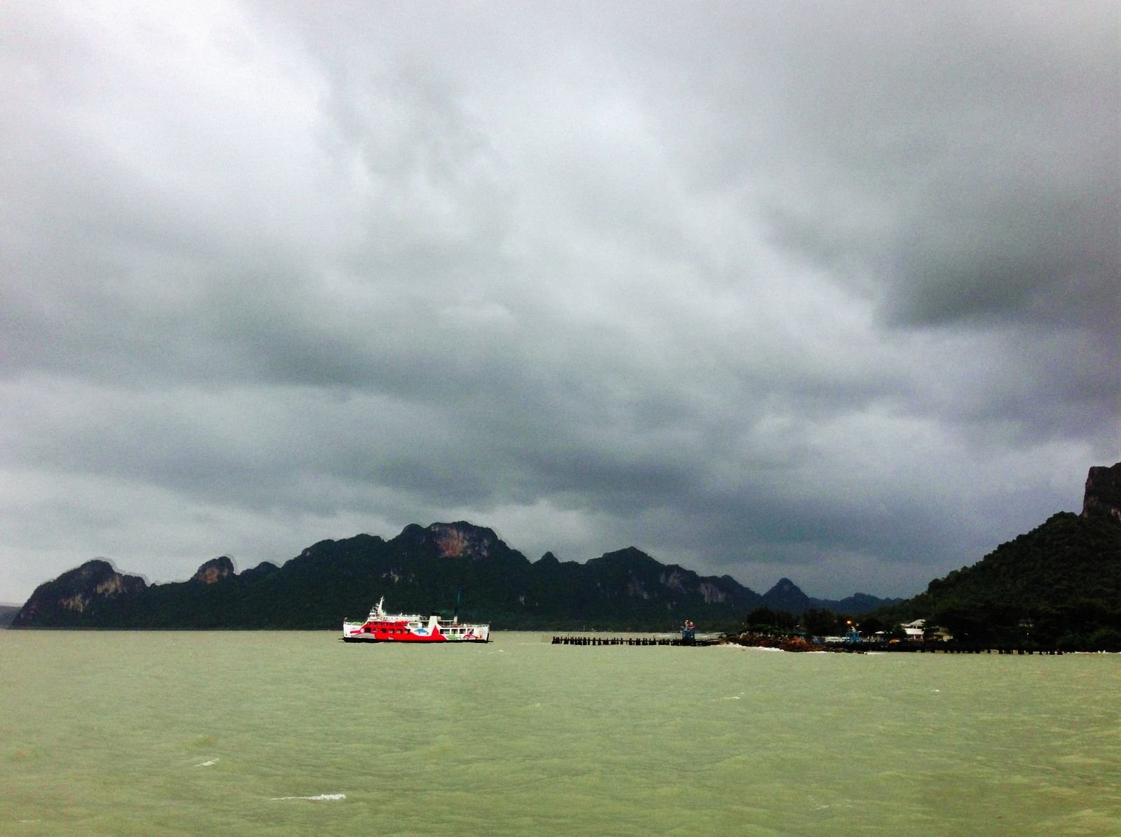
Across the whole region, the guides treat the hop as a first-class route element. Inter-island ferries in Fiji and Samoa, the Cook Islands’ outer-island flights, French Polynesia’s passes between Tahiti, Moorea and Bora Bora — each hop is documented like a road stage: where you board, how early to arrive, what the crossing takes, and what happens on arrival. It is the same thinking that leads our page on how to get to MyTravelTweaks: the getting-there is part of the trip, and it deserves the same clarity as the destination.
The South Pacific islands
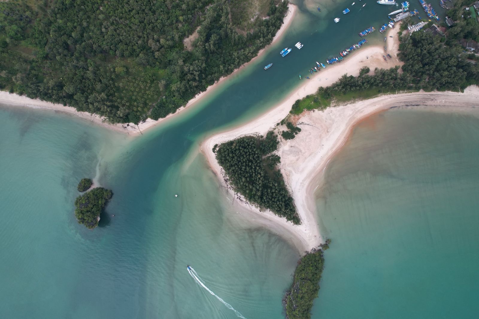
For the island nations — Fiji, Samoa, Tonga, Vanuatu beyond its main routes, the Solomon Islands, French Polynesia, New Caledonia and the Cook Islands — coverage focuses on each island as its own small system: the ring road or main axis, the airport-to-resort transfer reality, the day-trip routes worth taking (waterfalls, cultural villages, the far-side beaches) and the ones that disappoint. Island distances are short but island speeds are slow, and the guides calibrate expectations accordingly: twelve kilometres can be forty minutes, and that is normal, not a problem.
Weather, seasons and offline reality
Two regional facts shape every Oceanic guide. The first is weather: the South Pacific cyclone season runs roughly November to April, and northern Australia’s wet season closes roads that are highways on paper. Guides carry season notes per stage and link travellers to the Australian Bureau of Meteorology for the live picture in Australian waters — because a guide can plan around a season, but only a forecast can plan around a storm.
The second is connectivity. Between islands and beyond the coastal cities, signal gaps are the default. Every Oceanic guide is built to be downloaded whole — maps, stages, hops and notes — before departure, and used offline for the entire trip. Travellers pairing a route with a stay will also find the region’s current listings gathered on the Travel Tweaks offers page.
What the Oceanic guides do not cover
Honesty about limits, in one list. The guides do not carry live ferry or flight schedules — operators change them too often, and the guide links you to the operator instead of pretending to be one. They do not replace live navigation in Australian and New Zealand cities, where your map app is better. And they do not cover the region’s remotest corners — the far outer islands, interior PNG — where the truthful map note is that local knowledge, hired on the spot, is the guide. These limits are printed in the guides themselves, as part of the wider editorial approach set out on My Travel Tweaks.
Oceania is water with destinations in it, and this guide treats the crossings as part of the trip rather than the gap between parts. Read the island stages for what they are — short, expensive, worth it — the ferry and flight notes for when they run, and the season warnings for when they do not. Plan the water first and the land second, and the Pacific stops being a barrier and becomes the route.