
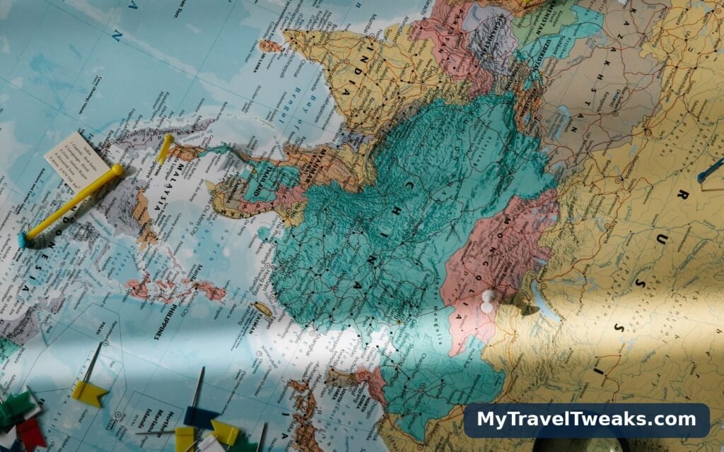

Every traveller now carries two kinds of map in one phone, and uses them as if they were the same thing. There is the live navigation app — superb at the next turn, the traffic jam forming ahead, the petrol station in four hundred metres. And there is the map guide: a curated route, planned in advance, that has already decided which road is worth taking and why. TTweakMaps, the map-guide layer of TravelTweaks, is firmly the second kind. This article is about judgement, not features: when a curated guide beats a live app, when it does not, and how to use one properly when it does — because a guide used at the wrong moment is just a prettier way to get lost.
Two tools, two different jobs
The distinction is easiest to see in the data underneath. Live navigation is built for the present tense: your position, current traffic, the fastest line from A to B right now. A guide is built for the future tense: the journey as a whole, read before it happens. TTweakMaps guides are edited on open mapping data of the kind maintained by OpenStreetMap, the community-built world map, and then shaped by humans into stages, stops and warnings. A live app, as Google Maps’ own overview makes clear, is a navigation and local-discovery service — it will steer you beautifully down a road your planning never chose. Neither tool is broken. They simply answer different questions: the guide answers which journey should we take?, the app answers where do I turn? Using one to do the other’s job is the root of most map misery.
When the guide wins: the three situations
The planning stage. Weeks before a trip, a live app is nearly useless: it can tell you that two towns are three hours apart, but not that the direct road is a lorry route with no view and no lunch, while the road twenty minutes longer passes the lake, the market town and the one hotel worth booking. A guide exists for exactly this moment. Its first view gives the route as a whole — distance, honest time, the stages it breaks into, the character of the road — and shows the alternatives side by side with their real cost. This is the stage our companion walkthrough of map guides TTweakMaps, from first search to final destination, follows in full, and it is where the important decisions — route, stages, overnight towns — are actually made.
Where the signal dies. Mountain valleys, desert highways, island interiors, foreign motorways where roaming costs more than the fuel: these are the places a live app becomes a grey grid and a spinning circle. A TTweakMaps guide is downloaded whole before departure — route, stages, notes and warnings on the device, readable in airplane mode. If a stretch of your trip has no reliable signal, the guide is not the better tool; it is the only one still working.
Routes with more than one decision. A single A-to-B drive needs no guide. A week of stages — a border crossing, a ferry that must not be missed, a pass that closes in bad weather, overnight towns to choose between — is a chain of decisions, and a live app makes each one separately, in the moment, with no memory of the others. A guide holds the whole chain at once, which is why its warnings sit inside the stage where they happen rather than in a document you were supposed to read in August.

How to use a TTweakMaps guide, step by step
- Search the journey, not the destination. Enter the trip in plain terms — a city pair, a region, a named route. Judge the first view before opening any detail: total distance, total time at honest speeds, number of stages, and whether the route’s character matches the trip you want.
- Choose between the alternatives deliberately. Where the guide shows a fast road and a scenic road, the difference in time is printed next to each. Decide once, here, rather than re-deciding at every junction.
- Read the stages the night before each one. Each stage summary takes two minutes: distance, the stops that earn their place, the warnings, where the stage ends. It is also the moment to line the stage’s overnight town up with the current Travel Tweaks offers if a bed is not yet booked.
- Download the guide for offline use. Do it on hotel Wi-Fi, then test it in airplane mode. Anything not on the device by departure does not exist for the rest of the trip.
- Use it as a reference on the ground, not a screen to watch. Check it at stops — before setting off, when the landscape starts matching a warning, as you approach the stage’s end. Let the live navigation app handle the steering between those checks; the guide’s job is to make sure the steering is happening on the right road.
- Let the guide absorb the detour. When a road is closed or a town tempts you sideways, the stage structure tells you where the route resumes and what skipping ahead costs. Detours stop being risks when you can see the shape of what you are leaving and rejoining.

When the live app is honestly enough
Honesty about limits is part of the tool. A familiar commute, a single hop between two cities on one motorway, a taxi ride across town: fire up live navigation and think no more about it. Guides also have a shelf life — roadworks, new bridges and seasonal closures move faster than any edited document, which is why a guide’s warnings are planning intelligence and the road sign in front of you is law. And some trips are genuinely one-note: our coverage of map guides for beach and resort destinations exists precisely because a coastline looks simple on a live map and is not — but a resort transfer from the airport, it should be said, is simple, and needs no guide at all.
The guides work best when they are read twice: once at the desk, when the route is still negotiable, and once on the road, when only the warnings matter. Build that habit — plan from the guide, then carry the downloaded stages with you — and the maps stop being reference material and start being the trip’s memory. Use them that way, and the when takes care of itself.