
South America punishes vague planning like no other continent. It is not the distances alone — although they are enormous — it is that a single mountain range, the Andes, runs the full length of the landmass and makes nearly every decision for you: which side of the mountains you are on, how high you sleep, whether the road east exists at all this season. The TTweakMaps guides for South American destinations are built around that reality. This breakdown sets out what they cover, region by region and problem by problem, so you can see how a route gets planned on a continent where the honest unit of travel is not the kilometre but the day. If the guides are new to you, our walkthrough of map guides TTweakMaps — from the first search to the final destination — explains the general method this breakdown applies.
One spine, two worlds: how the guides divide the continent
Every South America guide starts from the same organising fact: the Andes split the continent into a Pacific side and an Atlantic side, and crossing between them is an event, not a detail. The famous spine of it all, the Pan-American Highway, runs the western length of the continent, but the guides treat it as a reference line rather than a route — the real coverage is organised by journey type: the highland circuit of Peru, Bolivia and Ecuador; the southern cone of Chile and Argentina; the Patagonian deep south; and the northern coasts and Amazon gateways. Each family of guides grades its routes by the same standard as the wider South America travel destinations coverage: what the journey genuinely involves, stated before you fall in love with it.
The Andes crossings: the spine decides
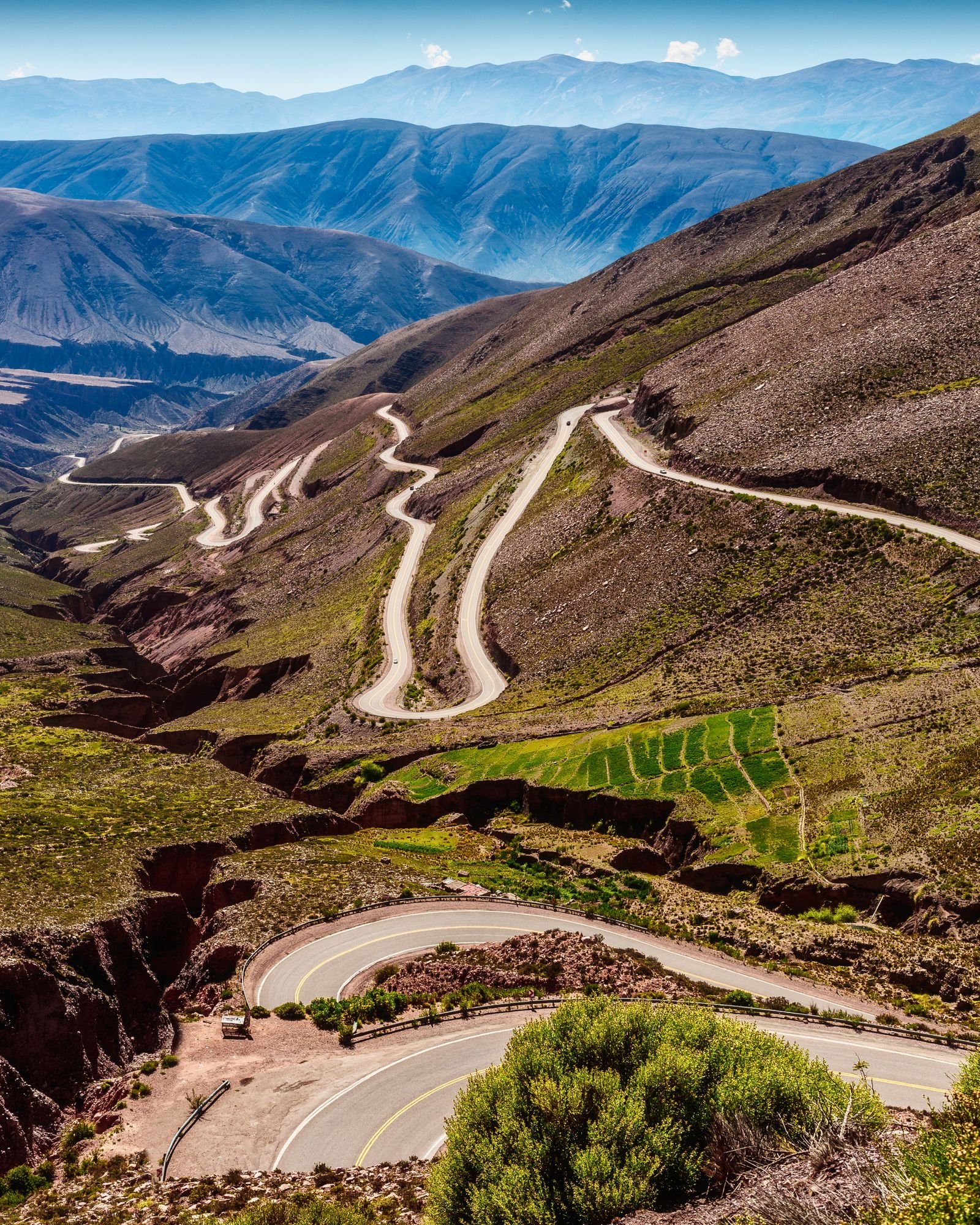
Crossing the Andes is the signature South American journey, and the guides document the crossings the way they document ferry hops elsewhere — as stages in their own right. The main passes between Chile and Argentina (Los Libertadores toward Mendoza, the southern lake-district crossings), the high routes between Peru’s coast and its highlands, and the altiplano crossings into Bolivia each carry the facts that decide feasibility: the pass altitude, the season it reliably stays open, the winter closure risk, and the border formalities at the top. A crossing is graded not by distance — some are barely a hundred kilometres — but by the full door-to-door reality, because a pass day consumes a day whatever the map says.
Altitude: the arithmetic nobody can skip
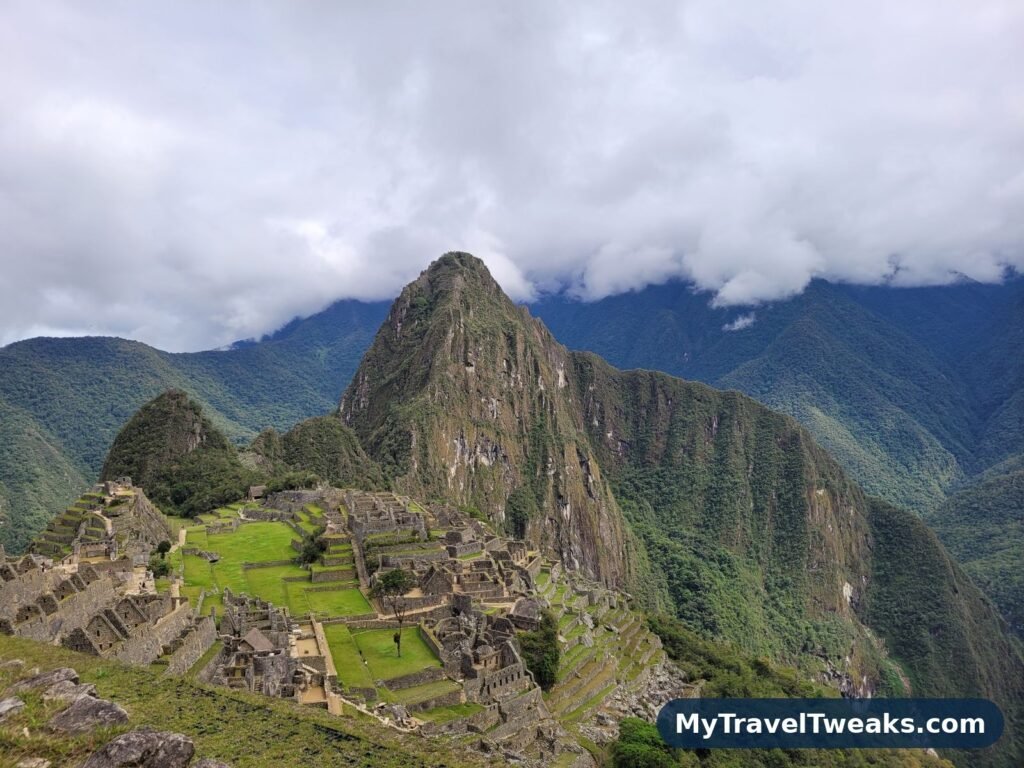
South America’s great circuit is a high-altitude circuit: Cusco at 3,400 metres, La Paz higher still, passes above 4,500 metres on ordinary bus routes. The guides build altitude into the route structure rather than leaving it as a footnote. Ascent is staged — the guides mark the sensible sleeping altitudes in sequence, flag the jumps that catch travellers out (a sea-level morning flight into a high-altitude afternoon is the classic mistake), and state each route’s highest sleeping point separately from its highest crossing point, because they are different risks. Around sights like Machu Picchu, the guides show the Sacred Valley for what it usefully is in altitude terms: a lower sleeping base than Cusco from which the citadel is an easier day. None of this is medical advice; it is route design that respects the mountain instead of discovering it.
Long-haul buses: the real railway network
On most of the continent, the long-distance bus is the train, the plane and the lifeline in one — and the guides treat the bus network as infrastructure worth mapping properly. Major trunk routes are documented with realistic durations (an honest twenty hours where the timetable’s optimism says sixteen), the difference between day and overnight services through mountain country, and the terminals’ real locations, which in South American capitals are often far from the centre the traveller assumes. Routes are staged at the towns where breaking the journey actually works — an altitude step, a worthwhile stop, a connection that exists — rather than at the points a straight line would choose. Travellers shaping a wider itinerary will find these stagings pair naturally with the trip frameworks in our South America vacations guide, which works outward from the same hubs.
Patagonia: distance is the destination
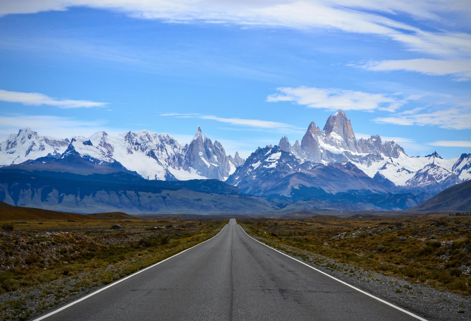
In the far south, the guides change character, because Patagonia changes the traveller. Here the coverage is dominated by three honesties. First, distance: the Ruta 40 in Argentina and the Carretera Austral in Chile are covered with fuel ranges, gravel stretches and wind stated plainly, because the gaps between services are the route. Second, weather: stages carry the season windows in which they are sensible, and the wind warnings that cyclists and high-sided vehicles ignore at their cost. Third, connection: the ferries and border crossings that stitch Chilean Patagonia together are documented as stages with booking-in-advance flags, since a missed ferry there is not an hour’s delay but a day’s.
Offline: planned for the signal-free continent
Large parts of South America — the altiplano, the Amazon basin roads, most of Patagonia — have no signal worth the name, so the South America guides are built offline-first even by TTweakMaps standards. The whole route, its stages, its fuel and altitude notes download as one package before departure, sized for the cheap phones and expensive data that are the regional norm. The guides also mark the towns where a traveller can realistically re-sync, re-fuel and re-plan, because on this continent the plan will change — a closed pass, a strike, a road washed to gravel — and the guide’s job is to make the change a decision rather than a crisis.
The same method, other continents
The South America coverage is one region family among several, all built on the same five-stage method. Travellers heading the other way across the Pacific will find the companion breakdown of what map guide TTweakMaps from TravelTweaks covers for Asian destinations — a continent of rail networks and island hops that could hardly differ more from the Andes and the altiplano, planned with exactly the same honesty about distance, timing and signal.
South America is a continent of long distances and sharp contrasts, and this breakdown treats both honestly. Use the regional routes to set realistic stages, the altitude and season notes to time the trip, and the transport warnings to choose how you move between them. Plan with the continent’s scale instead of against it, and the journey becomes the point rather than the price of it.