

Asia defeats the single-map mindset faster than anywhere else on Earth. In the space of one trip you can ride the most punctual train ever built, cross a megacity whose metro map is a work of abstract art, and then board a ferry to an island where the transport network is a man with a boat and a timetable in his head. The TTweakMaps guides for Asian destinations are organised around that stack of different problems: rail countries, megacities, archipelagos and the land borders between them. This article sets out what the coverage includes in each layer. The underlying method is the same one described in our walkthrough of map guides TTweakMaps — routes chosen from the first search, read stage by stage, and saved offline before departure.
Rail networks: the skeleton of the continent
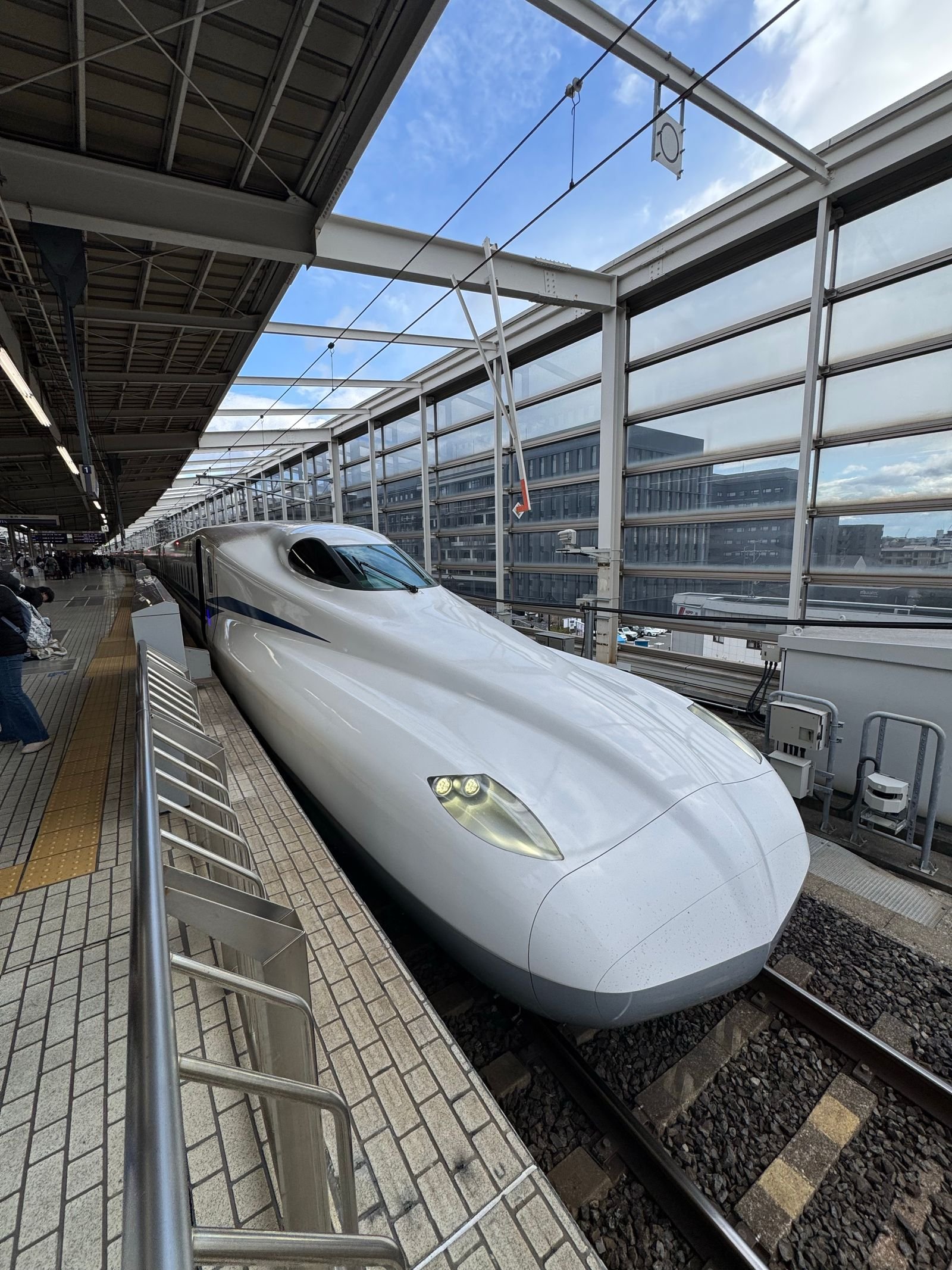
Asia’s great journeys are rail journeys, and the guides are built rail-first wherever the trains deserve it. Japan is the benchmark: the Shinkansen network is documented not as a list of lines but as a route system — which pass pays off for which itinerary shape, where the regional networks take over from the bullet trains, and the station reality (the difference between arriving at a hub with one transfer and a hub with four). India’s vast network gets the same treatment at the opposite tempo: the classic long-distance routes, the realistic durations, and the booking classes explained by what they mean for sleep rather than by their codes. China’s high-speed web, South Korea’s KTX corridors and Taiwan’s west-coast line are each covered as stage-by-stage routes, and the long-cherished dream of the Trans-Asian Railway is handled honestly — the guides show which of its corridors genuinely exist as bookable journeys today and which remain lines on a planner’s map.
Megacity transit: a map within the map
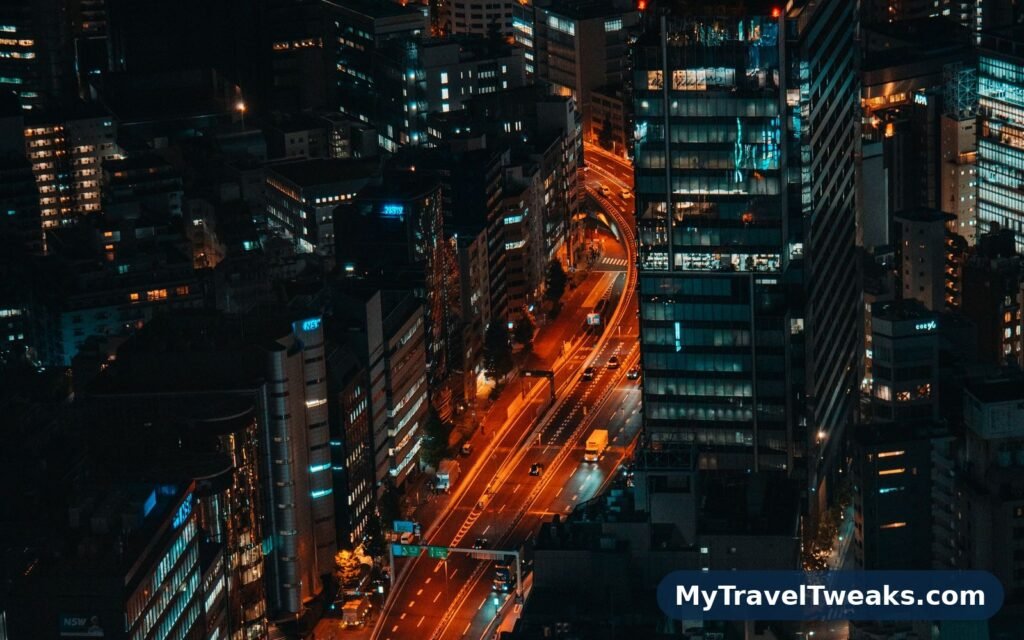
Tokyo, Osaka, Seoul, Shanghai, Bangkok, Delhi, Jakarta: in Asia’s megacities the journey inside the city is a route in its own right, and the guides give it its own layer. Each covered city carries a transit reading of the kind travellers actually need: the two or three lines that carry most visitor journeys, the stations where changing lines is a five-minute underground walk rather than the hop the diagram suggests, the last-train reality, and the airport link graded door to door against the taxi. The layer also marks the neighbourhood logic — which district makes the best base for the onward route — so the city stays a stage of the journey instead of swallowing it. It pairs, deliberately, with the accommodation side of planning: check the current Travel Tweaks offers against the districts the guide recommends before fixing your base.

Island-hopping: where the route is water
Southeast and East Asia hold two of the world’s great archipelagos, and the guides treat island-hopping as a route discipline of its own, as they do elsewhere. Indonesia’s core chains (Java–Bali–Lombok–Flores, and the Sulawesi and Sumatra gateways) and the Philippines’ main circuits are covered hop by hop: the ferry or fast-boat reality with sailing frequencies stated by season, the flight alternative priced in time rather than money, and the order to visit islands so the trip builds instead of backtracking. Japan’s own island chains — the Seto Inland Sea islands, the route down to Kyushu and the Okinawa chain — are documented with the same door-to-door honesty, because an island hop planned on a timetable’s best day is the most reliable way to lose an Asian itinerary its connecting flight.
Border crossings: the overland threads
Asia rewards the overland traveller like no other continent, and the guides document its classic threads as sequences of stages: Thailand–Laos–Vietnam, the Malaysia–Singapore causeway run, Nepal–India, the Central Asian passes where borders are events in themselves. Each crossing carries the practical outline — where the checkpoint actually is, the visa-on-arrival position as it stands, the transport change that most borders impose — with the standing warning that border rules move faster than any guide and must be re-checked before travel. If you are still finding the guide families on the site, our directions on how to get to MyTravelTweaks will orient you from one page.
Offline: two kinds of signal problem
Asia has two opposite connectivity problems, and the guides plan for both. In the rural stretches — the Himalayan foothills, the Indonesian outer islands, the Central Asian steppe — there is simply no signal, and the full route package downloads before departure in the usual way. In the megacities the signal is superb but the traveller may be locked out of it by roaming costs, local app restrictions or a dead travel SIM at the wrong moment — so the city transit layers download too, small and complete, sized to be grabbed on hotel Wi-Fi the night before. Either way, the principle from the general guides holds: whatever the route needs must be on the phone before the day starts.
One method, every continent
The Asia coverage shares its method with every other TTweakMaps region family — the same five stages, the same honesty about time. The contrast is sharpest in our companion breakdown of the map TTweakMaps for South American destinations, where the railway barely exists and the bus is king: two continents, two opposite transport logics, one standard for telling the truth about both.
Asia rewards the traveller who plans around its scale — the distances, the seasons, the sheer number of ways to move. This guide breaks the continent into routes that can actually be travelled, with the transport stages, the monsoon notes and the city clusters that decide each trip. Read it by region, build the route around the stages, and Asia stops being overwhelming and starts being navigable.