
Africa is the continent where a map guide earns its keep or gets exposed. The scale is continental in the truest sense — a “short hop” between two safari areas can be 600 kilometres — the road quality changes its mind every hundred kilometres, and the paperwork layer (borders, park gates, permits) shapes a route as much as the geography does. The TTweakMaps coverage for African destinations is built for exactly those realities. This article sets out what it includes: the safari circuits, the self-drive countries, the coasts, the distance honesty, the border notes, and the offline maps designed for the long stretches where there is no signal at all. The general method behind all of it is the one described in our walkthrough of map guides TTweakMaps, from first search to final destination.
The safari circuits: East Africa first
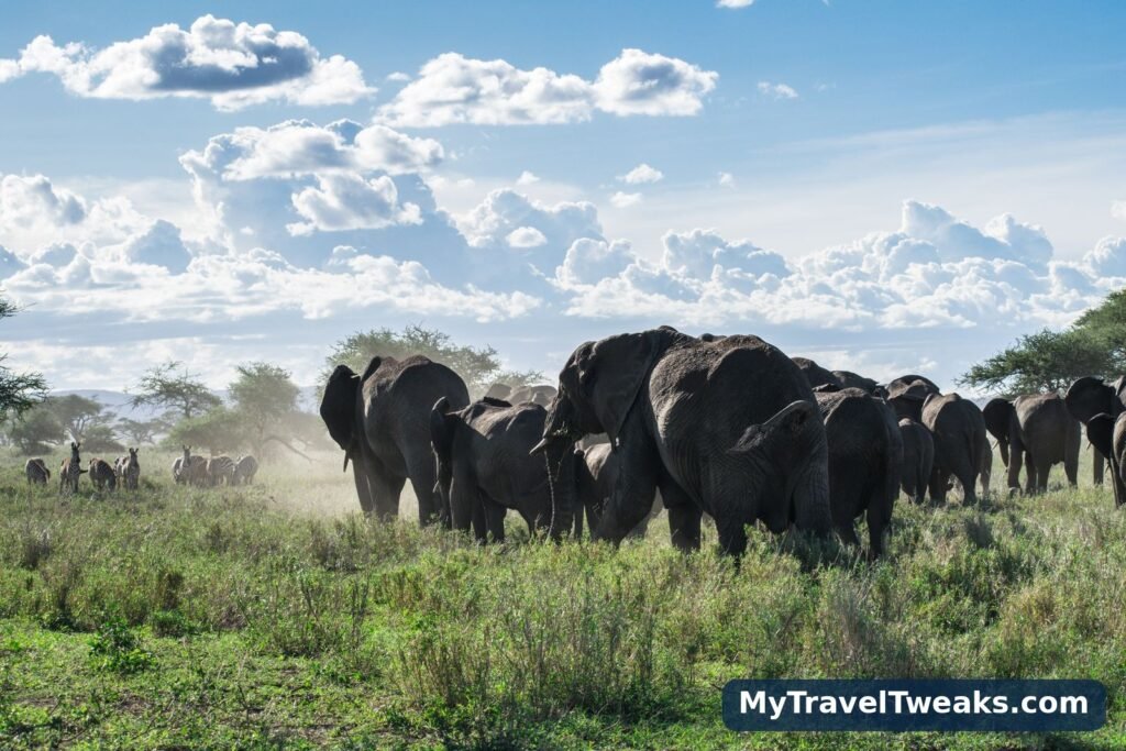
The classic safari circuits are the heart of the coverage. In East Africa, the guides map the northern Tanzania circuit — Arusha to Tarangire, Lake Manyara, the Ngorongoro Crater and the Serengeti National Park — as a sequence of stages with the two things safari itineraries most often get wrong made explicit: realistic drive times on park roads (where 80 kilometres can take three hours, happily, because of what is standing on them) and the seasonal logic of the Great Migration, which moves the “where to be” answer around the Serengeti and Kenya’s Masai Mara through the year. Kenya’s coverage pairs the Mara with Amboseli and the Rift Valley lakes, and both countries’ guides treat the internal flight — bush plane between camps — as a stage equal to any road, with airstrip and transfer notes included.
Southern Africa: self-drive country
South of the Zambezi, the coverage changes character, because the travelling does. Namibia, Botswana and South Africa are self-drive countries, and the guides are written for the person holding the wheel: fuel spacing on the long gravel legs, the stretches where the last petrol station is genuinely the last, tyre-and-sand notes for the deep Kalahari tracks, and the gate times of Etosha, Chobe and the Kruger stated as hard constraints, not suggestions. South Africa’s Garden Route and the run up to the Kruger are covered as the classic pairing of coast and bush, and travellers combining the route with a stay will find the region’s current listings on the Travel Tweaks offers page.
The coasts: where the wild meets the sea
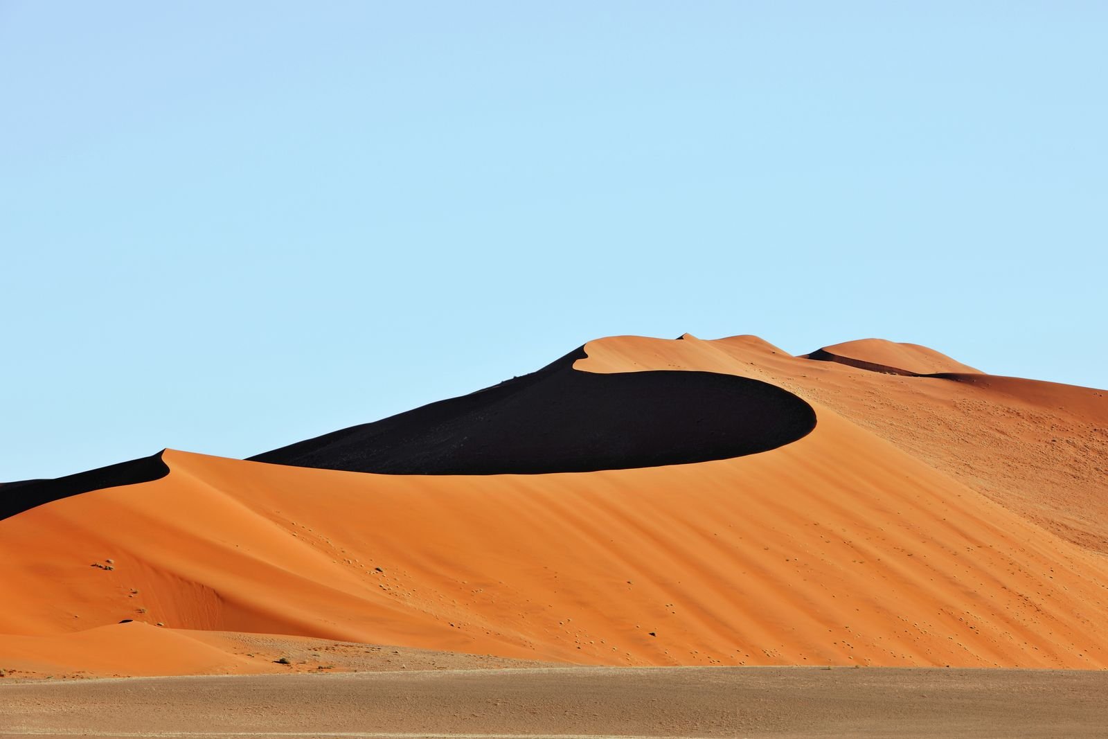
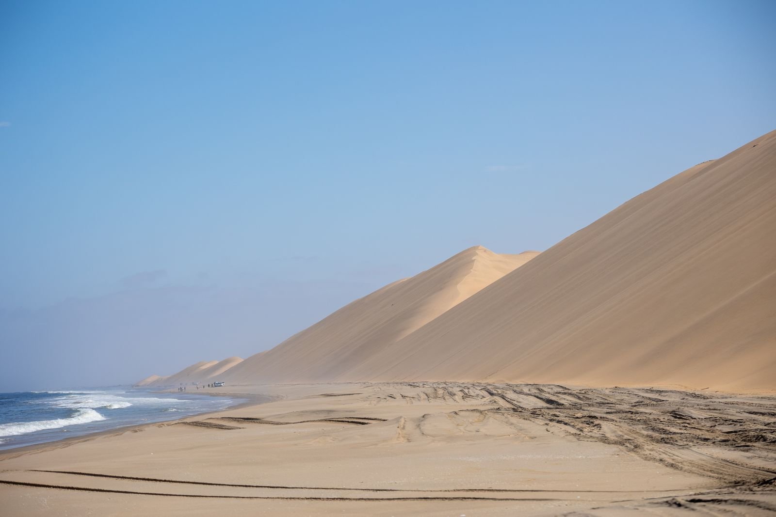
African trips increasingly pair safari with coast, and the guides cover the joins. Kenya’s coast below Mombasa, Tanzania’s ferry hop to Zanzibar, Mozambique’s long Indian Ocean shore, South Africa’s Wild Coast, and Namibia’s Skeleton Coast — where the Namib’s dunes fall straight into the Atlantic — are each covered as routes in their own right, with the safari-to-beach transfer treated as a stage and honestly timed. It is the same two-part structure couples use for safari honeymoons, which our companion guide on what the map guide TTweakMaps covers for honeymoon and romantic trip destinations explores from the romantic side.
North Africa: a different travelling logic
The Maghreb and Egypt are covered in the same series but under a different logic: shorter distances, denser history, and routes built around medinas, desert gateways and the Nile rather than wildlife. Morocco’s coverage runs from the imperial cities into the Atlas passes and down to the Erg Chebbi dunes, with the mountain-road timings stated as soberly as any safari leg; Egypt’s guides pair Cairo with the Luxor–Aswan corridor and the Red Sea coast. The desert stages here carry the same warnings as the south — heat, fuel, and the point beyond which a guide stops and a local driver becomes the right tool.
Distances, borders and the paperwork layer
Three kinds of honesty run through every African guide. The first is distance: every stage states kilometres and hours at the pace the surface allows, and the guides say plainly which days are too long — a 700-kilometre day on mixed tar and gravel is not a day, it is an ordeal with a steering wheel. The second is borders: where a route crosses one, the crossing is a stage — typical queues, vehicle paperwork, the cross-border fees and insurance (such as the COMESA yellow card in the east and south) that must exist before you reach the boom gate, and the visa logic stated as “check the current rule” with the authority to check it against, because visa rules change faster than any guide’s print cycle. The third is seasons: rains that close tracks, rivers that become the route’s boss, and the months each circuit is at its best, marked per stage.
Offline: built for where the signal dies
In much of safari Africa, mobile signal is a town amenity, not a travelling one. Every African guide is therefore built to be downloaded complete — route, stages, fuel and gate notes — before you leave the last good connection, and to remain fully usable through days of offline driving. This is stated as a design principle of the whole TravelTweaks project on My Travel Tweaks, and nowhere does it matter more than here.
Africa’s distances and infrastructure make the map more important here than almost anywhere else. This guide marks the routes that hold together, the stages where fuel, water and daylight decide the day, and the parks and coasts worth the detour. Travel the stages as written, respect the warnings as written, and the continent opens up on its own terms.